Detecting errors early
Errors in the building and construction sector cost time and money, and can add up to between 10% and 25% of project costs (read the Get It Right Initiative report). Part of the problem is that errors are often discovered only after they are locked in beneath layers of construction. “Because building projects are so complicated, it’s often impossible to detect early enough when mistakes are made,” says David. Rarely, it might be possible to then adjust building plans. But most often, errors are broken down and affected sections are reconstructed at significant cost.
Up till now, this sector has relied on manual measurements made with measuring tapes to pick up errors. Stationary tripod-mounted scanners are an alternative tool but need to be moved systematically, little by little, to map a site. While this process can produce accurate 3D maps, it is labour intensive and slow, and so not used frequently enough. An exercise that may take a day or more to complete with standard mapping equipment can be completed within 15 to 30 minutes with NavLive’s mapping technology. Faster, real-time measurements allow for more regular monitoring and earlier detection of errors, and so save time and money.
“A key benefit we hope to demonstrate is that one can identify quickly what is incorrect by using our device to build a model of the environment and compare that to what the architect intended,” says Maurice.
High-paced precision on the move
The game-changing aspect of NavLive’s technology is that accurate 3D mapping can be done on the move, with a lightweight handheld device. The team behind this technology have cracked the challenge of integrating structural data received from multiple synchronised camera images, data about distance and location of structures from laser pulses (LiDAR), and data about the device’s own position and motion measured by a device called an Inertial Measurement Unit (IMU). Their solution is packaged in a robust, lightweight, handheld device, or mounted on a robot. Compared to standard tripod-mounted devices, it is also much easier to use in tight spaces and in areas with variable lighting and shadows.
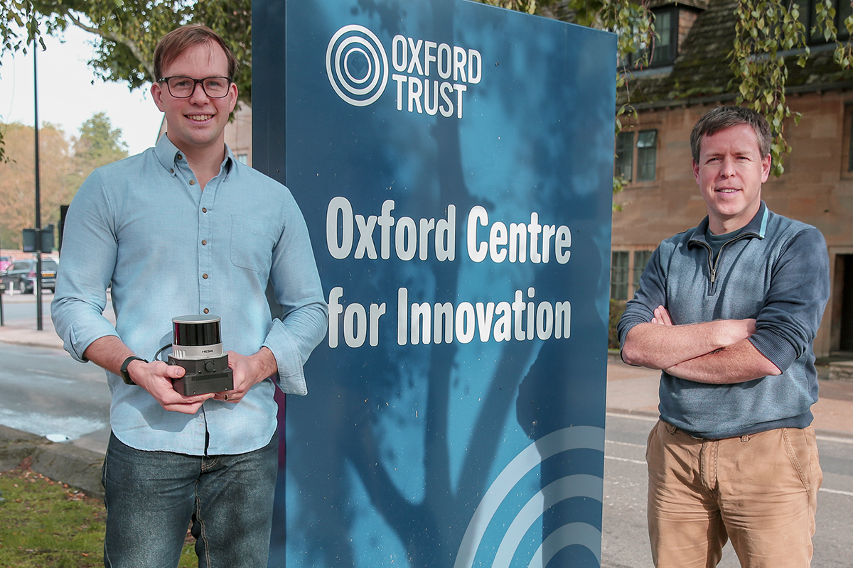
Started in Oxford
The research behind the innovation was developed by a team at the Oxford Robotics Institute at the University of Oxford, where David was a PhD student working with Maurice. Seeing increasing potential applications of the technology emerging from their work, David and Maurice established the spinout NavLive in June 2022.
Aptly, they chose the name of the company to reflect a combination of the concepts of the navigation of spaces, i.e. mapping where you are and what is around you, and live, real-time information.
The team now consists of seven full- and part-time roles, including Lintong Zhang, who was also involved in the original research at the university, and Paul Demanze, who is helping to develop the system’s user interfaces. The company is actively growing the team, following their recent announcement of seed funding from Oxford Science Enterprises and investment from US-based construction experts.
Choosing the right location
Attracting the right talent to support their growth is helped by the Oxford Centre for Innovation’s location right in the city centre. They are only a 5-minute bike ride away from the department, which makes it an easy journey for their team still studying or working in the university. Being just a short walk from the station also means they can access talent from further away, including London. It’s also easier for international visitors and collaborators to get to. Maurice says, “It’s the right place for us; it’s an ideal place for start-ups to get their feet on the ground.”
Wide-ranging application
While the construction industry will reap significant benefits from the technology, it has wider application in numerous situations where an accurate 3D map of an environment is needed quickly, particularly where there is no GPS. For example, in disaster zones, the device could be mounted to a robot and sent into a site to assess the state and safety of structures.
David and Maurice are exploring its use more broadly in monitoring building safety, and in a recent pilot project, NavLive assisted St Catherine’s College with an assessment of its RAAC concrete. Look out for their case study which will be published. Accurate 3D maps could also help those tasked with the preservation of buildings of historic value better understand their finer structural details and pick up changes with regular monitoring.
NavLive is also currently involved in a project with the UK Atomic Energy Authority to monitor nuclear facilities and explore its applications in the nuclear energy sector, such as the decommissioning of nuclear sites. In this environment, additional radiation data could be linked to site locations and assessed over time.
Going forward
As they grow their team, their immediate plans are to work on iterations to improve the capabilities of the device in various real-life scenarios, through pilot projects they are undertaking with companies and partners. NavLive aims to launch their product publicly in two to three years’ time.
We wish them every success!
To find out more about NavLive, visit their website.